 Image 1 of 3
 Image 2 of 3
 Image 3 of 3
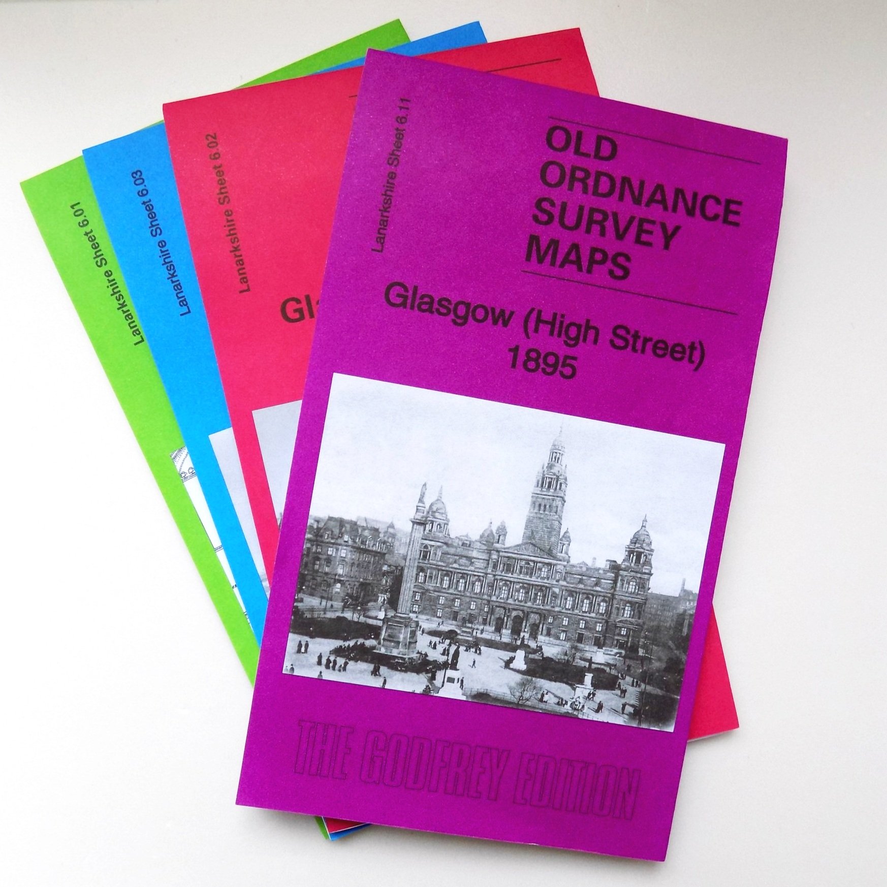
Lanarkshire Sheet 6.11a Glasgow (High Street) 1895 - published 2017; intro by Dr Gilbert T. Bell.
The maps are highly detailed, displaying individual houses and features like train and tram tracks. This vibrant map covers a central area of Glasgow, extending from Buchanan Street eastward to Whitevale Street and Armadale Street, and from Parliamentary Road southward to the northern part of Glasgow Green.
Key features include St Enoch Station with its engine shed, Queen Street Station, Buchanan Street Goods Station, College Goods Station, NBR High Street Goods Station, the Cattle Market, the Royal Infirmary, the Necropolis, Wellpark Brewery, the Cathedral of St Mungo, Dennistoun, Milnbank, tramways, the Fish Market, The Bazaar, and much more. Additionally, extracts from street directories are included on the reverse.