 Image 1 of 3
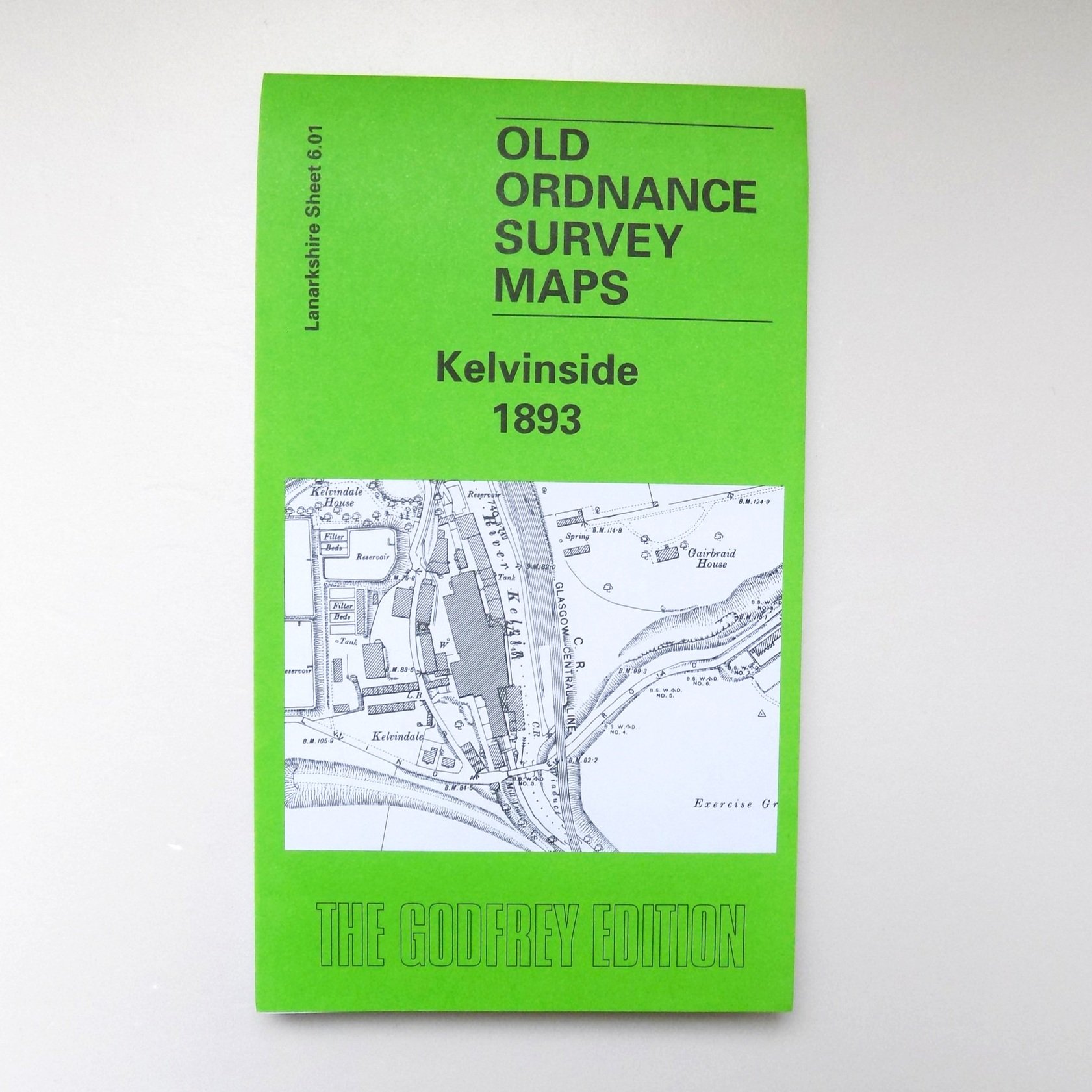 Image 2 of 3
 Image 3 of 3
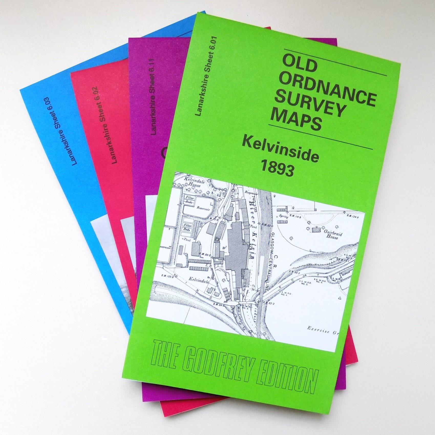
Lanarkshire Sheet 6.11a Glasgow (Kelvinside) 1893 - published 2001; intro by Dr Gilbert T. Bell.
This detailed map encompasses a northwest area of Glasgow, along with smaller sections of Renfrewshire and Dumbartonshire. Gilbert Bell describes it as a region where "one can almost sense the energy of a great city undergoing dramatic change. Fields await development, roads are laid out with the expectation of future buildings, a railway is under construction, and gas works provide power for homes and factories." In 1893, Glasgow was experiencing remarkable growth; all areas shown within the city boundary had been annexed only in 1891, with further annexations planned for 1912.
The map does not have a central focus, including parts of Kelvinside (bottom right) and Maryhill (top right), and extending westward to the then city boundary. It also features parts of Jordanhill and Anniesland in Renfrewshire, which were largely undeveloped at the time. Despite this, the map is rich in interest, showcasing several railways, including the Stobcross Branch with Great Western Road station, a section of the CR's Glasgow Central Line, the Forth & Clyde Canal, Kelvindale Paper Works, the River Kelvin, Gas Works No. 2 and 4, Beaconsfield Road, Montgomerie Crescent, the Royal Lunatic Asylum, Claythorn, old ironstone pits, and the Temple of Garscube.
On the reverse, there are extracts from street directories for Great Western Terrace and Montgomerie Drive, along with a railway timetable for the NBR's Maryhill/Singer to Bridgeton Cross line from 1918.